2012
SD9136 : Boundary stone on Will Moor
taken 12 years ago, 3 km from Trawden, Lancashire, England
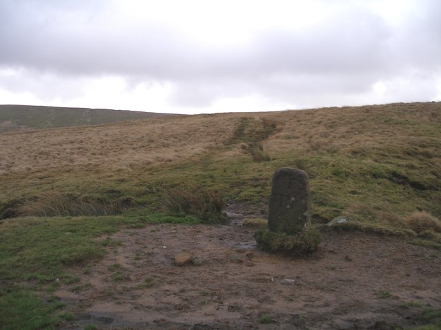
Boundary stone on Will Moor
 Map © Crown Copyright")
TIP: Click the map for more Large scale mapping
- Grid Square
- SD9136, 31 images (more nearby 🔍)
- Photographer
- John Slater (more nearby)
- Date Taken
- Saturday, 7 January, 2012 (more nearby)
- Submitted
- Sunday, 8 January, 2012
- Subject Location
-
OSGB36:
 SD 9141 3630 [10m precision]
WGS84: 53:49.3740N 2:7.9183W - Camera Location
-
OSGB36: SD 9139 3633
- View Direction
- Southeast (about 135 degrees)