2012
NZ0256 : Farmland south of High Fotherley
taken 12 years ago, near to Healey, Northumberland, England
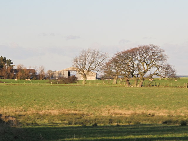
Farmland south of High Fotherley
 Map © Crown Copyright")
TIP: Click the map for more Large scale mapping
- Grid Square
- NZ0256, 15 images (more nearby 🔍)
- Photographer
- Mike Quinn (more nearby)
- Date Taken
- Thursday, 5 January, 2012 (more nearby)
- Submitted
- Monday, 9 January, 2012
- Subject Location
-
OSGB36:
 NZ 0212 5698 [10m precision]
WGS84: 54:54.4519N 1:58.1079W - Camera Location
-
OSGB36: NZ 02092 56524
- View Direction
- NORTH (about 0 degrees)