2012
SS9189 : Moorland north of Pen y Foel
taken 12 years ago, near to Ogmore Vale, Bridgend/Pen-y-Bont ar Ogwr, Wales
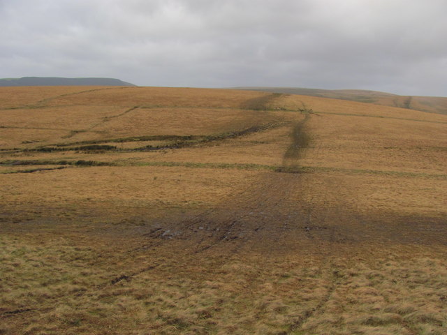
Moorland north of Pen y Foel
Popular with motorbikes...
 Map © Crown Copyright")
TIP: Click the map for more Large scale mapping
- Grid Square
- SS9189, 6 images (more nearby 🔍)
- Photographer
- John Light (more nearby)
- Date Taken
- Thursday, 5 January, 2012 (more nearby)
- Submitted
- Tuesday, 10 January, 2012
- Subject Location
-
OSGB36:
 SS 918 898 [100m precision]
WGS84: 51:35.8250N 3:33.7411W - Camera Location
-
OSGB36: SS 918 897
- View Direction
- NORTH (about 0 degrees)