2012
SN1833 : Ysgol-y-Preseli
taken 12 years ago, near to Crymych, Pembrokeshire/Sir Benfro, Wales
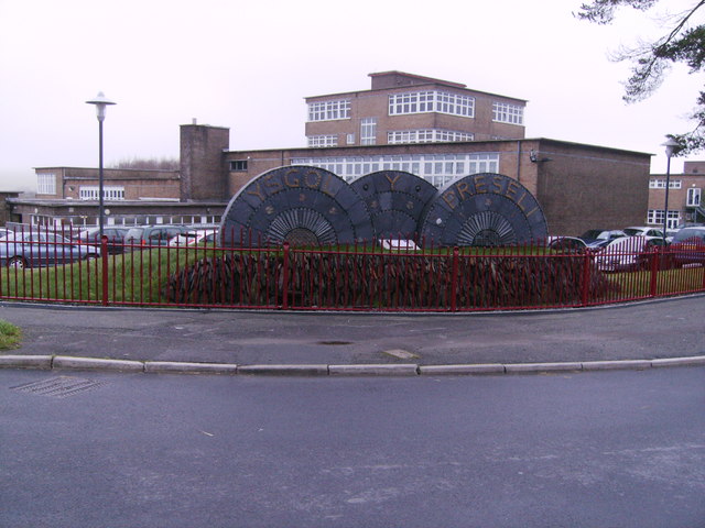
Ysgol-y-Preseli
Impressive monument to Ysgol-Y-Preseli school. Plaque reads: RURAL DEVELOPMENT PLAN for WALES 2007-2013
 Map © Crown Copyright")
TIP: Click the map for more Large scale mapping
- Grid Square
- SN1833, 69 images (more nearby 🔍)
- Photographer
- chris whitehouse (more nearby)
- Date Taken
- Wednesday, 11 January, 2012 (more nearby)
- Submitted
- Wednesday, 11 January, 2012
- Subject Location
-
OSGB36:
 SN 1816 3356 [10m precision]
WGS84: 51:58.2411N 4:38.9164W - Camera Location
-
OSGB36: SN 1815 3355
- View Direction
- Northeast (about 45 degrees)