2011
TR1265 : South Street
taken 12 years ago, near to Chestfield, Kent, England
This is 1 of 5 images, with title South Street in this square
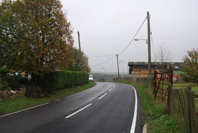
South Street
 Map © Crown Copyright")
TIP: Click the map for more Large scale mapping
- Grid Square
- TR1265, 49 images (more nearby 🔍)
- Photographer
- N Chadwick (more nearby)
- Date Taken
- Saturday, 5 November, 2011 (more nearby)
- Submitted
- Wednesday, 11 January, 2012
- Subject Location
-
OSGB36:
 TR 1237 6501 [10m precision]
WGS84: 51:20.6689N 1:2.8798E - Camera Location
-
OSGB36: TR 1233 6503
- View Direction
- East-southeast (about 112 degrees)