2012
TQ5572 : River Darent from Darent Valley Path
taken 12 years ago, near to Hawley, Kent, England
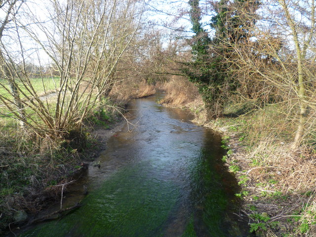
River Darent from Darent Valley Path
The Darent Valley Path follows the river south from Dartford until it reaches the bridge from which this photograph was taken. It then turns away to reach Hawley Road so that it can pass under the A2 before returning to the riverside.
 Map © Crown Copyright")
TIP: Click the map for more Large scale mapping
- Grid Square
- TQ5572, 70 images (more nearby 🔍)
- Photographer
- Marathon (more nearby)
- Date Taken
- Friday, 13 January, 2012 (more nearby)
- Submitted
- Friday, 13 January, 2012
- Subject Location
-
OSGB36:
 TQ 5509 7214 [10m precision]
WGS84: 51:25.6230N 0:13.7656E - Camera Location
-
OSGB36: TQ 5513 7212
- View Direction
- Northwest (about 315 degrees)