2012
TL6692 : Pillbox by Poppylot Farm
taken 12 years ago, 5 km NE of Brandon Bank, Norfolk, England
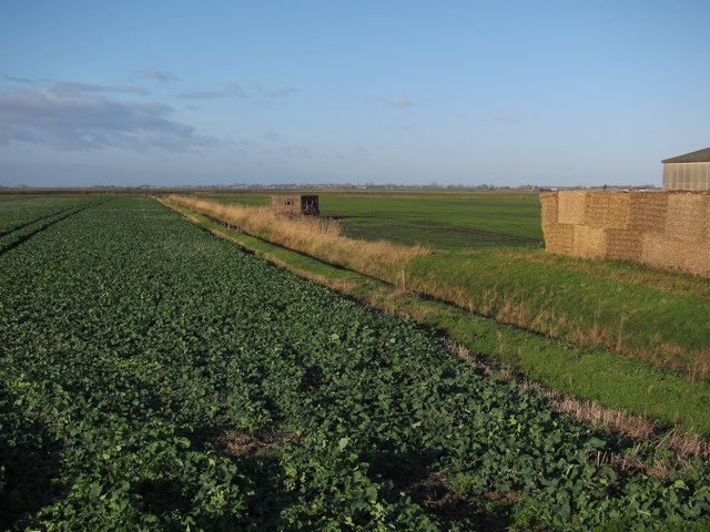
Pillbox by Poppylot Farm
I can't see any particular reason for there to be one here other than very good sightlines.
 Map © Crown Copyright")
TIP: Click the map for more Large scale mapping
- Grid Square
- TL6692, 12 images (more nearby 🔍)
- Photographer
- Hugh Venables (more nearby)
- Date Taken
- Saturday, 7 January, 2012 (more nearby)
- Submitted
- Friday, 13 January, 2012
- Subject Location
-
OSGB36:
 TL 6650 9236 [10m precision]
WGS84: 52:30.2230N 0:27.0987E - Camera Location
-
OSGB36: TL 6657 9232
- View Direction
- West-northwest (about 292 degrees)