2012
ST6584 : Lock's Lane
taken 12 years ago, near to Latteridge, South Gloucestershire, England
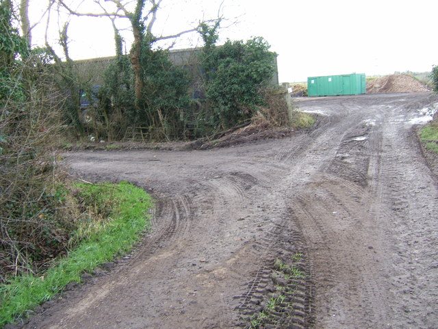
Lock's Lane
Lock's Lane, a wide bridleway, makes a sharp turn to the south-west in this picture, skirting round a storage shed. The inverted "W" shape of the track as it diverts round the building, of which this turn is the north-eastern "peak", is easy to spot on the map as it crosses a 1km square gridline.
 Map © Crown Copyright")
TIP: Click the map for more Large scale mapping
- Grid Square
- ST6584, 5 images (more nearby 🔍)
- Photographer
- Ruth Riddle (more nearby)
- Date Taken
- Saturday, 14 January, 2012 (more nearby)
- Submitted
- Saturday, 14 January, 2012
- Subject Location
-
OSGB36:
 ST 6575 8402 [10m precision]
WGS84: 51:33.2411N 2:29.7234W - Camera Location
-
OSGB36: ST 6576 8402
- View Direction
- WEST (about 270 degrees)