2012
TL5168 : Commissioners' Drain near Bank Farm
taken 12 years ago, near to River Bank, Cambridgeshire, England
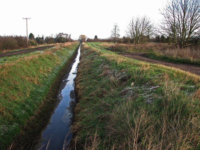
Commissioners' Drain near Bank Farm
A drainage dyke which runs parallel to Long Drove.
 Map © Crown Copyright")
TIP: Click the map for more Large scale mapping
- Grid Square
- TL5168, 32 images (more nearby 🔍)
- Photographer
- John Sutton (more nearby)
- Date Taken
- Friday, 13 January, 2012 (more nearby)
- Submitted
- Sunday, 15 January, 2012
- Subject Location
-
OSGB36:
 TL 516 683 [100m precision]
WGS84: 52:17.5201N 0:13.3122E - Camera Location
-
OSGB36: TL 516 682
- View Direction
- North-northeast (about 22 degrees)