2012
SJ8379 : Davenport Green, Wilmslow
taken 12 years ago, near to Alderley Edge, Cheshire East, England
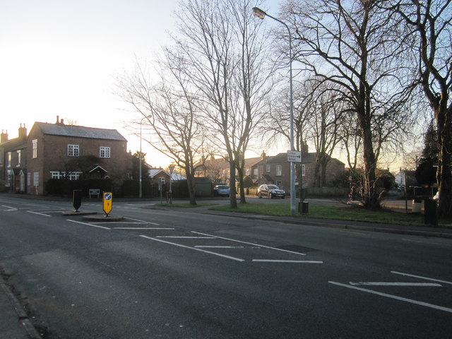
Davenport Green, Wilmslow
B5086 Knutsford Road exits left towards Knutsford and Wilmslow centre is behind us. A separate hamlet/village up to the 19th century when the arrival of the railway at Wilmslow probably sealed its fate.
 Map © Crown Copyright")
TIP: Click the map for more Large scale mapping
- Grid Square
- SJ8379, 18 images (more nearby 🔍)
- Photographer
- Peter Turner (more nearby)
- Date Taken
- Friday, 13 January, 2012 (more nearby)
- Submitted
- Sunday, 15 January, 2012
- Subject Location
-
OSGB36:
 SJ 8319 7958 [10m precision]
WGS84: 53:18.7731N 2:15.2259W - Camera Location
-
OSGB36: SJ 8324 7960
- View Direction
- West-southwest (about 247 degrees)