2012
SE2932 : Path and cycle route up to Neville Street
taken 12 years ago, near to Leeds, England
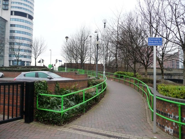
Path and cycle route up to Neville Street
Part of the landscaping around the riverfront by ASDA's HQ.
 Map © Crown Copyright")
TIP: Click the map for more Large scale mapping
- Grid Square
- SE2932, 705 images (more nearby 🔍)
- Photographer
- Christine Johnstone (more nearby)
- Date Taken
- Sunday, 15 January, 2012 (more nearby)
- Submitted
- Monday, 16 January, 2012
- Subject Location
-
OSGB36:
 SE 2996 3298 [10m precision]
WGS84: 53:47.5366N 1:32.8017W - Camera Location
-
OSGB36: SE 2996 3298
- View Direction
- WEST (about 270 degrees)