2012
SU1692 : Lower Burytown Farm barns
taken 12 years ago, near to Hannington, Swindon, England
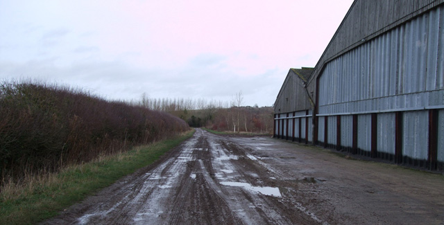
Lower Burytown Farm barns
 Map © Crown Copyright")
TIP: Click the map for more Large scale mapping
- Grid Square
- SU1692, 10 images (more nearby 🔍)
- Photographer
- Vieve Forward (more nearby)
- Date Taken
- Sunday, 1 January, 2012 (more nearby)
- Submitted
- Monday, 16 January, 2012
- Subject Location
-
OSGB36:
 SU 1631 9203 [10m precision]
WGS84: 51:37.6112N 1:45.9466W - Camera Location
-
OSGB36: SU 1626 9195
- View Direction
- North-northeast (about 22 degrees)