2012
NT2969 : Stable block, Edmonstone
taken 12 years ago, near to Danderhall, Midlothian, Scotland
This is 1 of 3 images, with title Stable block, Edmonstone in this square
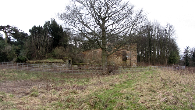
Stable block, Edmonstone
Little remains of Edmonstone. The house has gone, but the walled garden, policy woodlands and ruined stable block remain.
 Map © Crown Copyright")
TIP: Click the map for more Large scale mapping
- Grid Square
- NT2969, 176 images (more nearby 🔍)
- Photographer
- Richard Webb (more nearby)
- Date Taken
- Wednesday, 11 January, 2012 (more nearby)
- Submitted
- Tuesday, 17 January, 2012
- Subject Location
-
OSGB36:
 NT 2997 6997 [10m precision]
WGS84: 55:55.0620N 3:7.3226W - Camera Location
-
OSGB36: NT 2996 7003
- View Direction
- SOUTH (about 180 degrees)