2012
SD9130 : Black Hameldon towards Hoof Stones Height
taken 12 years ago, 4 km ESE of Hurstwood, Lancashire, England
This is 1 of 3 images, with title starting with Black in this square
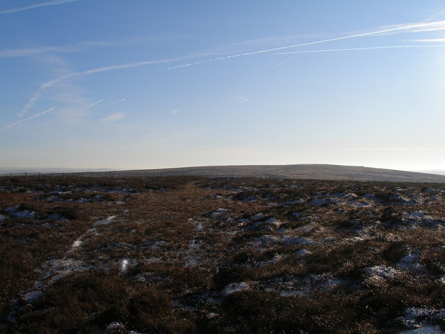
Black Hameldon towards Hoof Stones Height
 Map © Crown Copyright")
TIP: Click the map for more Large scale mapping
- Grid Square
- SD9130, 6 images (more nearby 🔍)
- Photographer
- John Slater (more nearby)
- Date Taken
- Monday, 16 January, 2012 (more nearby)
- Submitted
- Tuesday, 17 January, 2012
- Subject Location
-
OSGB36:
 SD 9147 3017 [10m precision]
WGS84: 53:46.0683N 2:7.8533W - Camera Location
-
OSGB36: SD 9143 3073
- View Direction
- SOUTH (about 180 degrees)