2012
NO1117 : Arable Land at Drummonie
taken 12 years ago, near to Kintillo, Perth And Kinross, Scotland
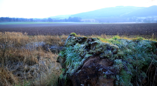
Arable Land at Drummonie
Arable land looking south from Drummonie Cottage
 Map © Crown Copyright")
TIP: Click the map for more Large scale mapping
- Grid Square
- NO1117, 17 images (more nearby 🔍)
- Photographer
- edward mcmaihin (more nearby)
- Date Taken
- Sunday, 15 January, 2012 (more nearby)
- Submitted
- Tuesday, 17 January, 2012
- Subject Location
-
OSGB36:
 NO 1192 1701 [10m precision]
WGS84: 56:20.2339N 3:25.5784W - Camera Location
-
OSGB36: NO 1192 1704
- View Direction
- South-southeast (about 157 degrees)