2012
TQ2079 : Flats on Ramillies Road
taken 12 years ago, near to Chiswick, Hounslow, England
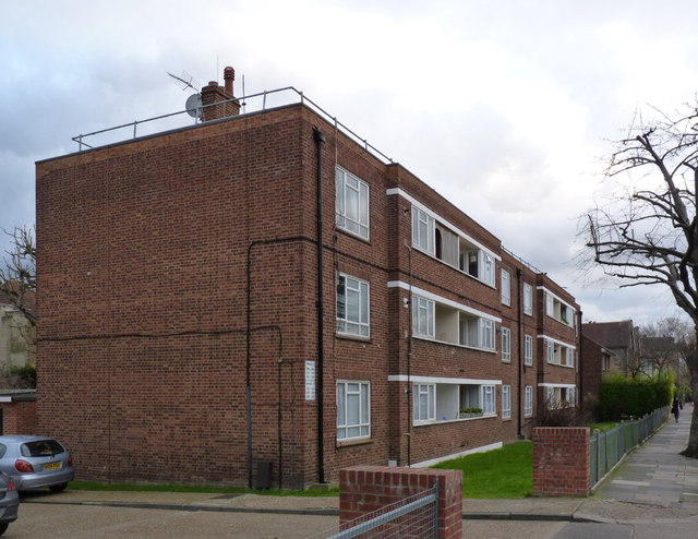
Flats on Ramillies Road
Housing infill from around 1950 on a site previously occupied by tennis courts.
 Map © Crown Copyright")
TIP: Click the map for more Large scale mapping
- Grid Square
- TQ2079, 221 images (more nearby 🔍)
- Photographer
- Alan Murray-Rust (more nearby)
- Date Taken
- Tuesday, 10 January, 2012 (more nearby)
- Submitted
- Wednesday, 18 January, 2012
- Subject Location
-
OSGB36:
 TQ 2082 7901 [10m precision]
WGS84: 51:29.8277N 0:15.6534W - Camera Location
-
OSGB36: TQ 2081 7904
- View Direction
- South-southeast (about 157 degrees)