2012
NT3237 : Track north of Caerlee Hill
taken 12 years ago, near to Innerleithen, Scottish Borders, Scotland
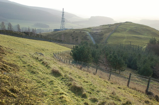
Track north of Caerlee Hill
A track up to March Wood on the ridge of Lee Pen. The plantation to the right is not shown on the 1:25,000 map.
 Map © Crown Copyright")
TIP: Click the map for more Large scale mapping
- Grid Square
- NT3237, 56 images (more nearby 🔍)
- Photographer
- Jim Barton (more nearby)
- Date Taken
- Thursday, 19 January, 2012 (more nearby)
- Submitted
- Thursday, 19 January, 2012
- Subject Location
-
OSGB36:
 NT 3242 3703 [10m precision]
WGS84: 55:37.3282N 3:4.4806W - Camera Location
-
OSGB36: NT 3239 3713
- View Direction
- South-southeast (about 157 degrees)