2012
ST0007 : Russell Lane
taken 12 years ago, near to Colebrook, Devon, England
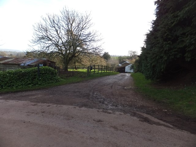
Russell Lane
A lane and bridleway from Knowle to Colebrook
 Map © Crown Copyright")
TIP: Click the map for more Large scale mapping
- Grid Square
- ST0007, 70 images (more nearby 🔍)
- Photographer
- David Smith (more nearby)
- Date Taken
- Friday, 20 January, 2012 (more nearby)
- Submitted
- Saturday, 21 January, 2012
- Subject Location
-
OSGB36:
 ST 0037 0712 [10m precision]
WGS84: 50:51.2991N 3:25.0077W - Camera Location
-
OSGB36: ST 0034 0715
- View Direction
- Southeast (about 135 degrees)