2012
NT2065 : Paths on Harbour Hill
taken 12 years ago, 3 km from Juniper Green, Edinburgh, Scotland
This is 1 of 2 images, with title Paths on Harbour Hill in this square
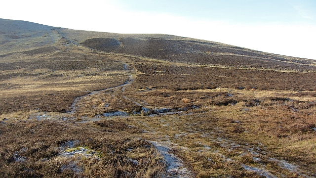
Paths on Harbour Hill
View from the somewhat wet ground between Capelaw Hill and Harbour Hill.
 Map © Crown Copyright")
TIP: Click the map for more Large scale mapping
- Grid Square
- NT2065, 46 images (more nearby 🔍)
- Photographer
- Richard Webb (more nearby)
- Date Taken
- Monday, 16 January, 2012 (more nearby)
- Submitted
- Saturday, 21 January, 2012
- Subject Location
-
OSGB36:
 NT 2087 6559 [10m precision]
WGS84: 55:52.6166N 3:15.9793W - Camera Location
-
OSGB36: NT 2098 6565
- View Direction
- West-southwest (about 247 degrees)