2012
TQ5261 : River Darent at Shoreham
taken 12 years ago, near to Shoreham, Kent, England
This is 1 of 5 images, with title River Darent at Shoreham in this square
River Darent at Shoreham
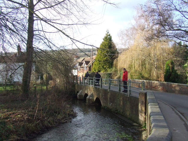
The River Darent passes through the village of Shoreham, Kent.
River Darent
The Darent or Darenth rises in the Greensand Hills south of Westerham and flows 21 miles north to meet the Thames near Dartford (Crayford Ness). For more information on the river see Link
or Link
 Map © Crown Copyright")
TIP: Click the map for more Large scale mapping
- Grid Square
- TQ5261, 195 images (more nearby 🔍)
- Photographer
- Malc McDonald (more nearby)
- Date Taken
- Sunday, 15 January, 2012 (more nearby)
- Submitted
- Sunday, 22 January, 2012
- Subject Location
-
OSGB36:
 TQ 5205 6162 [10m precision]
WGS84: 51:20.0009N 0:10.8741E - Camera Location
-
OSGB36: TQ 5207 6161
- View Direction
- West-northwest (about 292 degrees)