2011
TQ7653 : Footpath to Loose
taken 12 years ago, near to Tovil, Kent, England
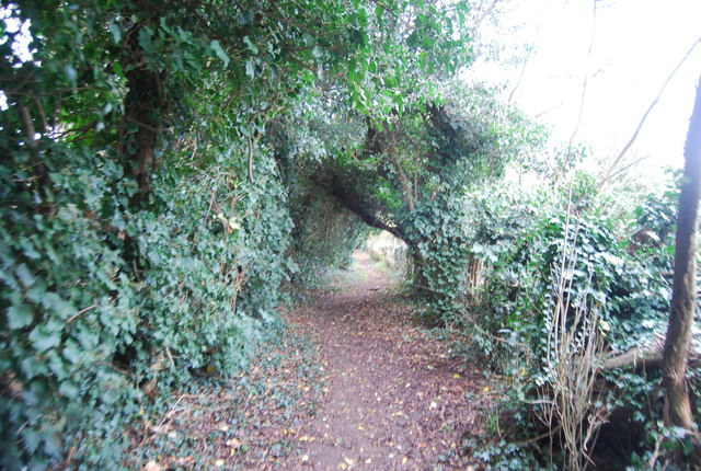
Footpath to Loose
 Map © Crown Copyright")
TIP: Click the map for more Large scale mapping
- Grid Square
- TQ7653, 71 images (more nearby 🔍)
- Photographer
- N Chadwick (more nearby)
- Date Taken
- Sunday, 27 November, 2011 (more nearby)
- Submitted
- Monday, 23 January, 2012
- Subject Location
-
OSGB36:
 TQ 7602 5369 [10m precision]
WGS84: 51:15.3123N 0:31.2645E - Camera Location
-
OSGB36: TQ 7605 5370
- View Direction
- West-southwest (about 247 degrees)