2012
SX5595 : Bales and barn, Northlew Road
taken 12 years ago, 3 km from Folly Gate, Devon, England
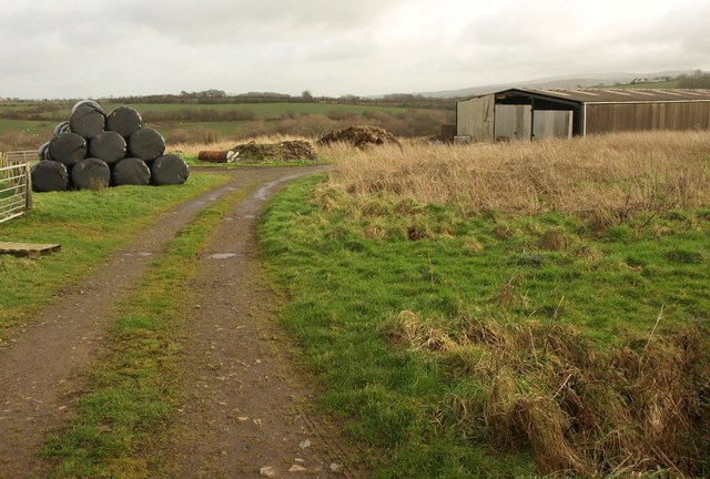
Bales and barn, Northlew Road
Taken from the road which mostly follows high land between tributaries of the River Lew.
 Map © Crown Copyright")
TIP: Click the map for more Large scale mapping
- Grid Square
- SX5595, 6 images (more nearby 🔍)
- Photographer
- Derek Harper (more nearby)
- Date Taken
- Friday, 20 January, 2012 (more nearby)
- Submitted
- Tuesday, 24 January, 2012
- Subject Location
-
OSGB36:
 SX 559 956 [100m precision]
WGS84: 50:44.5247N 4:2.6211W - Camera Location
-
OSGB36: SX 5589 9566
- View Direction
- East-southeast (about 112 degrees)