2012
SX9081 : Forestry track on Haldon
taken 12 years ago, near to Ashcombe, Devon, England
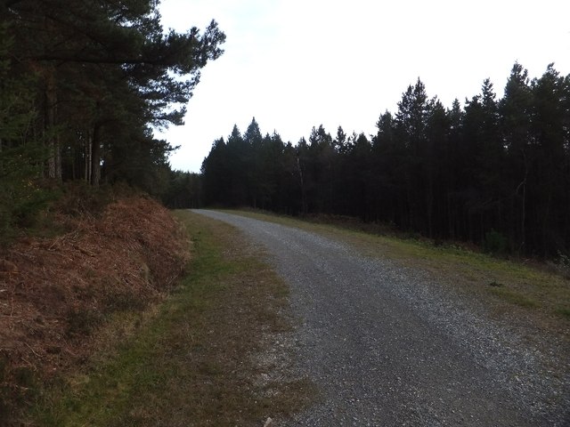
Forestry track on Haldon
A track used for access and recreation runs above the valley of Dawlish Water
 Map © Crown Copyright")
TIP: Click the map for more Large scale mapping
- Grid Square
- SX9081, 27 images (more nearby 🔍)
- Photographer
- David Smith (more nearby)
- Date Taken
- Sunday, 22 January, 2012 (more nearby)
- Submitted
- Tuesday, 24 January, 2012
- Subject Location
-
OSGB36:
 SX 904 810 [100m precision]
WGS84: 50:37.1356N 3:32.9952W - Camera Location
-
OSGB36: SX 904 810
- View Direction
- Southeast (about 135 degrees)