2011
TL1752 : Everton Crossing on Tempsford Road, near Everton
taken 12 years ago, near to Church End, Central Bedfordshire, England
This is 1 of 2 images, with title Everton Crossing on Tempsford Road, near Everton in this square
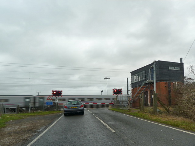
Everton Crossing on Tempsford Road, near Everton
 Map © Crown Copyright")
TIP: Click the map for more Large scale mapping
- Grid Square
- TL1752, 14 images (more nearby 🔍)
- Photographer
- Alexander P Kapp (more nearby)
- Date Taken
- Thursday, 29 December, 2011 (more nearby)
- Submitted
- Wednesday, 25 January, 2012
- Subject Location
-
OSGB36:
 TL 1781 5240 [10m precision]
WGS84: 52:9.4390N 0:16.7567W - Camera Location
-
OSGB36: TL 1776 5242
- View Direction
- East-southeast (about 112 degrees)