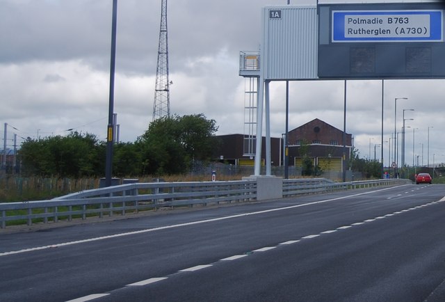
NS6062 : Slip road, Junction 1a, M74
taken 13 years ago, near to Rutherglen, Glasgow, Scotland

The A74(M) & M74 run over 80 miles from the M6 at the Scottish border near Gretna to the M8 at Glasgow. This is one of the two most important routeways into Scotland from the south. The last stretch of the M74 opened in 2011 (see Link ).
Wikipedia: Link
The M74 Northern Extension (or M74 Completion to give it its proper title) is the missing link in the Glasgow motorway system. There were plans in the 1960s for an Inner Ring Road around the city centre, but only the northern section (the current M8) was completed. Although following a different (longer) route than that planned in the 1960s, the new road will complete the ring of motorways around Glasgow - providing a city bypass route from the south east to the M77, Paisley, Glasgow Airport and all points west.
The mostly elevated five mile long route runs from Tollcross in the east to the Kingston Bridge in the west, passing through the south-eastern suburbs of Dalmarnock, Polmadie, Rutherglen and Govanhill before skirting The Gorbals. The 750 metre bridge over the three railway lines at Port Eglinton will be on a similar scale to the nearby Kingston Bridge over the River Clyde.
Much of the route is over derelict and contaminated industrial land and £12M of the £444M cost of the road will be spent in making disused mine workings safe.
The East End Regeneration Route road is also under construction and will link the new M74 to the M8 at the M80 junction in the north of the city. This will consist of upgrades to existing roads and also some new build roads.
Here is a Linkto the official Transport Scotland website which gives details of the road and its construction.
