2012
SJ6075 : Sandy Lane junction, A49
taken 12 years ago, near to Acton Bridge, Cheshire West And Chester, England
This is 1 of 2 images, with title starting with Sandy Lane junction in this square
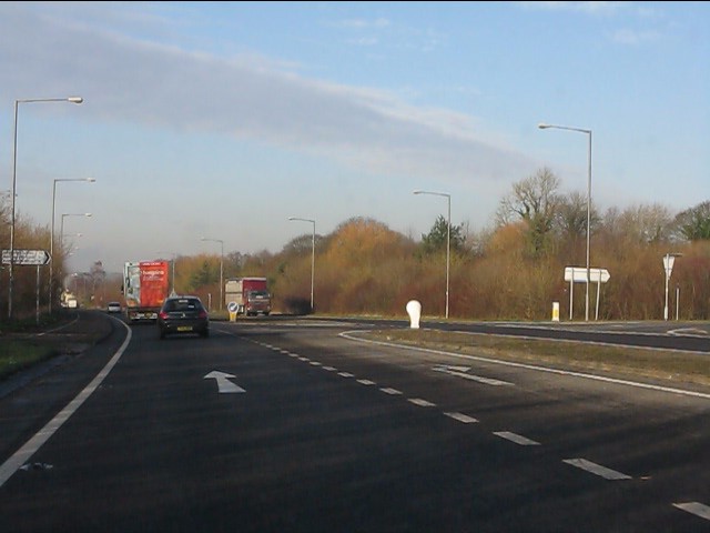
Sandy Lane junction, A49
The northern end point of the Weaverham bypass.
 Map © Crown Copyright")
TIP: Click the map for more Large scale mapping
- Grid Square
- SJ6075, 69 images (more nearby 🔍)
- Photographer
- Peter Whatley (more nearby)
- Date Taken
- Tuesday, 17 January, 2012 (more nearby)
- Submitted
- Wednesday, 25 January, 2012
- Subject Location
-
OSGB36:
 SJ 6048 7511 [10m precision]
WGS84: 53:16.2897N 2:35.6430W - Camera Location
-
OSGB36: SJ 6050 7502
- View Direction
- North-northwest (about 337 degrees)