2011
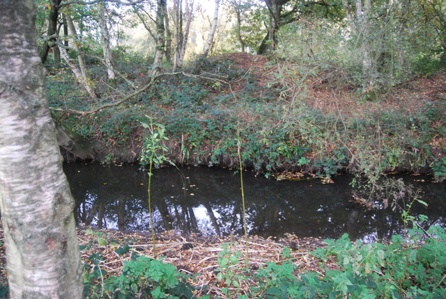
SU8853 : Blackwater River
taken 12 years ago, near to Ash Vale, Surrey, England
This is 1 of 6 images, with title Blackwater River in this square
Blackwater River
The River Blackwater rises at Rowhill near Aldershot and flows northwards for 17 miles to its junction with the River Loddon. Part of it forms the border between Surrey and Hampshire.
Wikipedia: Link
See other images of Blackwater River
Wikipedia: Link
See other images of Blackwater River
 Map © Crown Copyright")
TIP: Click the map for more Large scale mapping
- Grid Square
- SU8853, 85 images (more nearby 🔍)
- Photographer
- N Chadwick (more nearby)
- Date Taken
- Sunday, 30 October, 2011 (more nearby)
- Submitted
- Thursday, 26 January, 2012
- Subject Location
-
OSGB36:
 SU 8864 5328 [10m precision]
WGS84: 51:16.3072N 0:43.8441W - Camera Location
-
OSGB36: SU 8863 5331
- View Direction
- South-southeast (about 157 degrees)