2012
SK7759 : Centre of Bathley
taken 12 years ago, near to Bathley, Nottinghamshire, England
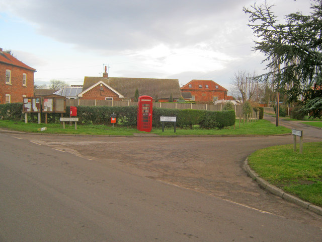
Centre of Bathley
Looking north on Main Street to the phone box and village notice board. Chapel Lane leads off to the right, where the 1844 Methodist Chapel has been converted into a private house.
 Map © Crown Copyright")
TIP: Click the map for more Large scale mapping
- Grid Square
- SK7759, 55 images (more nearby 🔍)
- Photographer
- Trevor Rickard (more nearby)
- Date Taken
- Monday, 9 January, 2012 (more nearby)
- Submitted
- Friday, 27 January, 2012
- Subject Location
-
OSGB36:
 SK 7781 5908 [10m precision]
WGS84: 53:7.3934N 0:50.3232W - Camera Location
-
OSGB36: SK 7781 5904
- View Direction
- NORTH (about 0 degrees)