2011
TQ8075 : A228, westbound
taken 12 years ago, near to St Mary Hoo, Medway, England
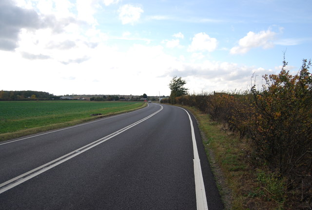
A228, westbound
The A228 runs 31 miles from the Isle of Grain south westwards to the A21 at Pembury TQ6140 : Roundabout where the A228 becomes the A264.
Fuller route see Link
See other images of A228 Road
Fuller route see Link
See other images of A228 Road
 Map © Crown Copyright")
TIP: Click the map for more Large scale mapping
- Grid Square
- TQ8075, 50 images (more nearby 🔍)
- Photographer
- N Chadwick (more nearby)
- Date Taken
- Saturday, 29 October, 2011 (more nearby)
- Submitted
- Friday, 27 January, 2012
- Subject Location
-
OSGB36:
 TQ 8027 7538 [10m precision]
WGS84: 51:26.9225N 0:35.5736E - Camera Location
-
OSGB36: TQ 8031 7538
- View Direction
- WEST (about 270 degrees)