2012

SD6009 : Riley Lane

taken 12 years ago, near to Haigh, Wigan, England
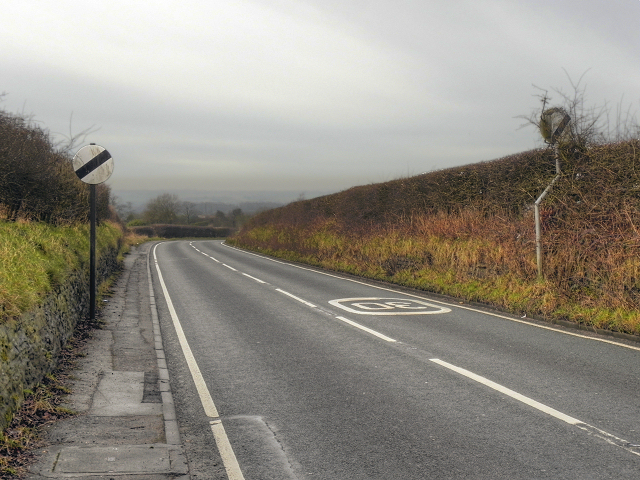
Riley Lane
Riley Lane
The road out of Haigh, to the north.

Creative Commons Licence [Some Rights Reserved]   © Copyright David Dixon and licensed for reuse under this Creative Commons Licence.
Geographical Context: Village, Rural settlement Roads, Road transport other tags: Country Road Speed Limit Sign National Speed Limit Hedges Hedgerows Click a tag, to view other nearby images.
This photo is linked from: Automatic Clusters: · Riley Lane [3] ·
1:50,000 Modern Day Landranger(TM) Map © Crown Copyright
+
+
1:50,000 Modern Day Landranger(TM) Map © Crown Copyright
TIP: Click the map for more Large scale mapping
Grid Square
SD6009, 26 images   (more nearby 🔍)
Photographer
David Dixon   (more nearby)
Date Taken
Saturday, 28 January, 2012   (more nearby)
Submitted
Saturday, 28 January, 2012
Subject Location
OSGB36: geotagged! SD 6065 0935 [10m precision]
WGS84: 53:34.7555N 2:35.7474W
Camera Location
OSGB36: geotagged! SD 6075 0928
View Direction
West-northwest (about 292 degrees)
Clickable map
+
NW N NE
W Go E
SW S SE
Image classification(about): Geograph
This page has been viewed about 29 times
You are not logged in login | register