2012
ST1300 : Lane junction near Awliscombe
taken 12 years ago, near to Awliscombe, Devon, England
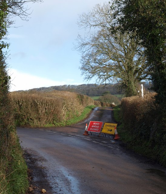
Lane junction near Awliscombe
The closed lane is Tape Lane; to the left is Weston Lane, which connects Weston to Awliscombe.
 Map © Crown Copyright")
TIP: Click the map for more Large scale mapping
- Grid Square
- ST1300, 23 images (more nearby 🔍)
- Photographer
- Derek Harper (more nearby)
- Date Taken
- Thursday, 26 January, 2012 (more nearby)
- Submitted
- Monday, 30 January, 2012
- Subject Location
-
OSGB36:
 ST 1388 0098 [10m precision]
WGS84: 50:48.1173N 3:13.4080W - Camera Location
-
OSGB36: ST 1387 0095
- View Direction
- North-northeast (about 22 degrees)