2012
NT4244 : Lugate Wood
taken 12 years ago, 3 km from Torsonce, Scottish Borders, Scotland
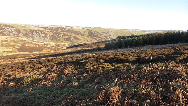
Lugate Wood
This extension to the Lugate Rig stripwood is still unmapped.
 Map © Crown Copyright")
TIP: Click the map for more Large scale mapping
- Grid Square
- NT4244, 9 images (more nearby 🔍)
- Photographer
- Richard Webb (more nearby)
- Date Taken
- Monday, 23 January, 2012 (more nearby)
- Submitted
- Tuesday, 31 January, 2012
- Subject Location
-
OSGB36:
 NT 4233 4421 [10m precision]
WGS84: 55:41.2752N 2:55.1309W - Camera Location
-
OSGB36: NT 4223 4417
- View Direction
- East-northeast (about 67 degrees)