2012
TQ3989 : Junction of Snaresbrook Road and Woodford New Road
taken 12 years ago, near to Wanstead, Redbridge, England
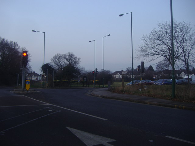
Junction of Snaresbrook Road and Woodford New Road
 Map © Crown Copyright")
TIP: Click the map for more Large scale mapping
- Grid Square
- TQ3989, 72 images (more nearby 🔍)
- Photographer
- David Howard (more nearby)
- Date Taken
- Tuesday, 31 January, 2012 (more nearby)
- Submitted
- Tuesday, 31 January, 2012
- Subject Location
-
OSGB36:
 TQ 3907 8912 [10m precision]
WGS84: 51:35.0271N 0:0.3506E - Camera Location
-
OSGB36: TQ 3909 8910
- View Direction
- Northwest (about 315 degrees)