2012
SN7984 : The track between Blaen Peithnant and Eisteddfa Gurig
taken 12 years ago, near to Crib yr Esgair [other Features], Ceredigion, Great Britain
This is 1 of 2 images, with title The track between Blaen Peithnant and Eisteddfa Gurig in this square
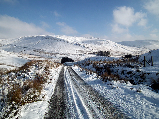
The track between Blaen Peithnant and Eisteddfa Gurig
Looking towards Eisteddfa Gurig.
 Map © Crown Copyright")
TIP: Click the map for more Large scale mapping
- Grid Square
- SN7984, 36 images (more nearby 🔍)
- Photographer
- John Lucas (more nearby)
- Date Taken
- Wednesday, 1 February, 2012 (more nearby)
- Submitted
- Wednesday, 1 February, 2012
- Subject Location
-
OSGB36:
 SN 7958 8409 [10m precision]
WGS84: 52:26.4881N 3:46.3817W - Camera Location
-
OSGB36: SN 7953 8406
- View Direction
- East-northeast (about 67 degrees)