2012
SE1703 : Ordnance Survey Cut Mark
taken 12 years ago, near to Carlecotes, Barnsley, England
This is 1 of 3 images, with title starting with Ordnance Survey in this square
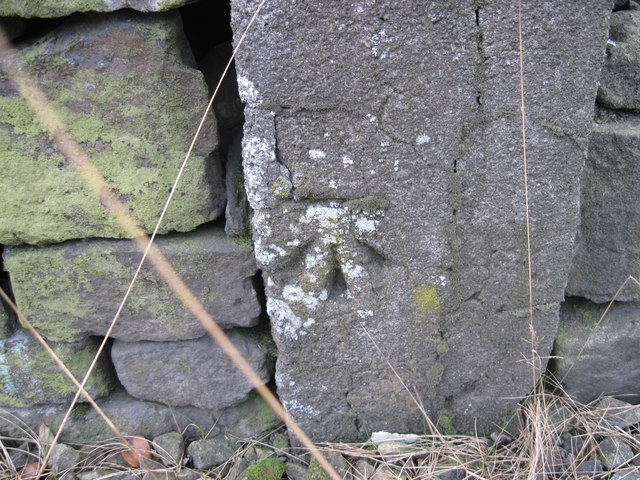
Ordnance Survey Cut Mark
Can be found on a post in the wall in Flint Lane.
 Map © Crown Copyright")
TIP: Click the map for more Large scale mapping
- Grid Square
- SE1703, 32 images (more nearby 🔍)
- Photographer
- Peter Wood (more nearby)
- Date Taken
- Wednesday, 1 February, 2012 (more nearby)
- Submitted
- Thursday, 2 February, 2012
- Subject Location
-
OSGB36:
 SE 17592 03948 [1m precision]
WGS84: 53:31.9138N 1:44.1642W