2012
SU6739 : Bentworth, Downland
taken 12 years ago, near to Bentworth, Hampshire, England
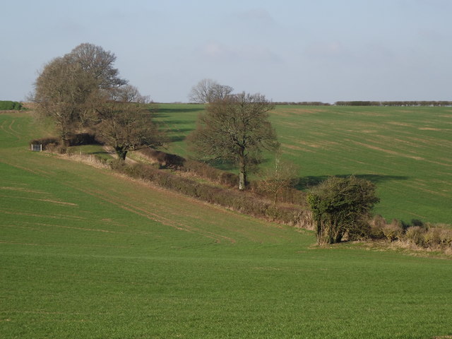
Bentworth, Downland
Chalk grassland hillside, traversed by the ancient Tinker's Way, now a byway.
Link
Link
 Map © Crown Copyright")
TIP: Click the map for more Large scale mapping
- Grid Square
- SU6739, 17 images (more nearby 🔍)
- Photographer
- Colin Smith (more nearby)
- Date Taken
- Wednesday, 1 February, 2012 (more nearby)
- Submitted
- Thursday, 2 February, 2012
- Subject Location
-
OSGB36:
 SU 6704 3931 [10m precision]
WGS84: 51:8.9480N 1:2.5754W - Camera Location
-
OSGB36: SU 6727 3915
- View Direction
- Northwest (about 315 degrees)