2012
SK4580 : Cedar Close
taken 12 years ago, near to Killamarsh, Derbyshire, England
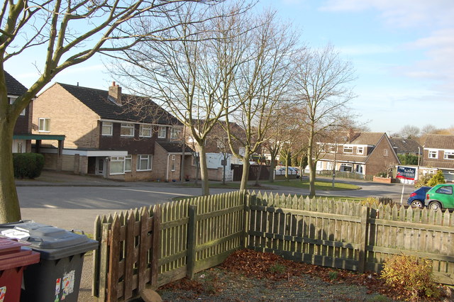
Cedar Close
 Map © Crown Copyright")
TIP: Click the map for more Large scale mapping
- Grid Square
- SK4580, 174 images (more nearby 🔍)
- Photographer
- John Jennings (more nearby)
- Date Taken
- Thursday, 2 February, 2012 (more nearby)
- Submitted
- Thursday, 2 February, 2012
- Subject Location
-
OSGB36:
 SK 4519 8015 [10m precision]
WGS84: 53:18.9816N 1:19.3884W - Camera Location
-
OSGB36: SK 4523 8015
- View Direction
- WEST (about 270 degrees)