2012
SE1255 : Ramsgill Head
taken 12 years ago, near to Summerscales, North Yorkshire, England
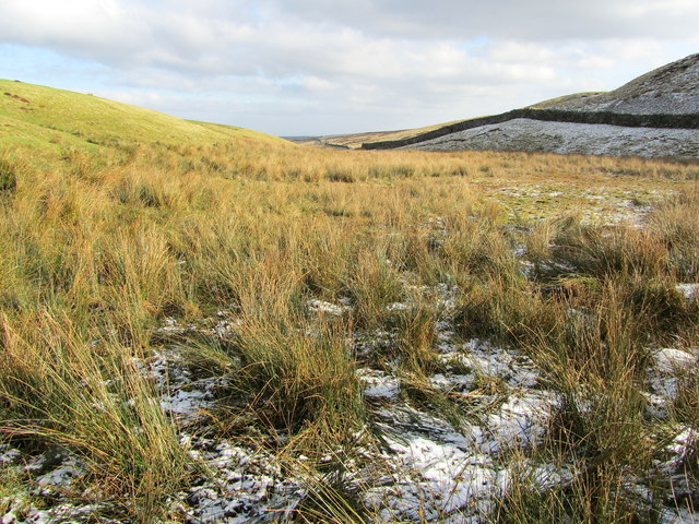
Ramsgill Head
The headwaters of Ramsgill Beck, somewhat obscured by marsh and reeds, as the watecourse starts its journey to join the River Washburn south of Thruscross Reservoir.
 Map © Crown Copyright")
TIP: Click the map for more Large scale mapping
- Grid Square
- SE1255, 17 images (more nearby 🔍)
- Photographer
- Chris Heaton (more nearby)
- Date Taken
- Wednesday, 1 February, 2012 (more nearby)
- Submitted
- Friday, 3 February, 2012
- Subject Location
-
OSGB36:
 SE 1259 5595 [10m precision]
WGS84: 53:59.9659N 1:48.5658W - Camera Location
-
OSGB36: SE 1257 5593
- View Direction
- East-northeast (about 67 degrees)