2011
TQ7160 : Medway Valley Walk
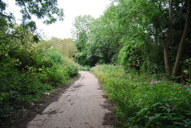
taken 13 years ago, near to Eccles, Kent, England
This is 1 of 5 images, with title Medway Valley Walk in this square
Medway Valley Walk
The Medway Valley Walk is a 28 mile walk in West Kent, with interesting landscape, natural history and archaeology. It passes through a varied landscape of downland, woodland, orchards, hop gardens, meadows and farmland, lakes and marshland, unspoilt villages and historic towns. The walk starts in Tonbridge and ends in Rochester. Links are made with the Greensand Way, North Downs Way, Saxon Shore Way and Wealdway.
The start of the walk is linked by the waymarked Eden Valley Walk (15 miles) to the Vanguard Way at Haxted. The Len Valley Walk (12 miles) connects with the Medway Valley Walk at Maidstone and following the course of the River Len also connects with the Stour Valley Walk (Kent) at Lenham, thus creating a waymarked 80 mile route between Tonbridge and the sea at Sandwich.
See other images of Medway Valley Walk (MVW)
 Map © Crown Copyright")
TIP: Click the map for more Large scale mapping
- Grid Square
- TQ7160, 71 images (more nearby 🔍)
- Photographer
- N Chadwick (more nearby)
- Date Taken
- Tuesday, 30 August, 2011 (more nearby)
- Submitted
- Saturday, 4 February, 2012
- Subject Location
-
OSGB36:
 TQ 7196 6033 [10m precision]
WGS84: 51:18.9656N 0:27.9687E - Camera Location
-
OSGB36: TQ 7194 6031
- View Direction
- Northeast (about 45 degrees)