2012
SE1257 : Track leading onto Rocking Moor
taken 12 years ago, near to West End, North Yorkshire, England
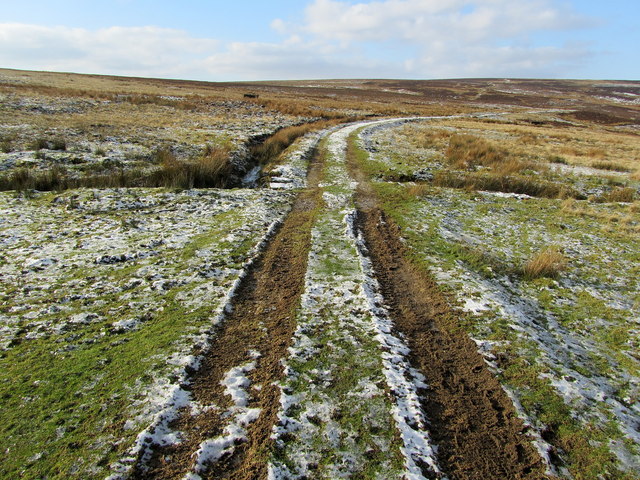
Track leading onto Rocking Moor
Part of the track that runs from Spittle Ings House to Rocking Hall
 Map © Crown Copyright")
TIP: Click the map for more Large scale mapping
- Grid Square
- SE1257, 13 images (more nearby 🔍)
- Photographer
- Chris Heaton (more nearby)
- Date Taken
- Wednesday, 1 February, 2012 (more nearby)
- Submitted
- Sunday, 5 February, 2012
- Subject Location
-
OSGB36:
 SE 1281 5706 [10m precision]
WGS84: 54:0.5641N 1:48.3616W - Camera Location
-
OSGB36: SE 1286 5705
- View Direction
- WEST (about 270 degrees)