2012
SN7284 : Track to Bwlchystyllen and Nant-y-moch
taken 12 years ago, 3 km from Cwmsymlog, Ceredigion/Sir Ceredigion, Wales
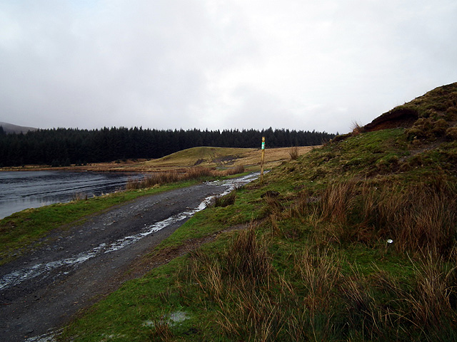
Track to Bwlchystyllen and Nant-y-moch
Very popular with cyclists.
 Map © Crown Copyright")
TIP: Click the map for more Large scale mapping
- Grid Square
- SN7284, 18 images (more nearby 🔍)
- Photographer
- John Lucas (more nearby)
- Date Taken
- Sunday, 5 February, 2012 (more nearby)
- Submitted
- Sunday, 5 February, 2012
- Subject Location
-
OSGB36:
 SN 725 848 [100m precision]
WGS84: 52:26.7912N 3:52.6094W - Camera Location
-
OSGB36: SN 725 847
- View Direction
- NORTH (about 0 degrees)