2012
TF3549 : Junction of High Ferry Lane and A16
taken 12 years ago, near to High Ferry, Lincolnshire, England
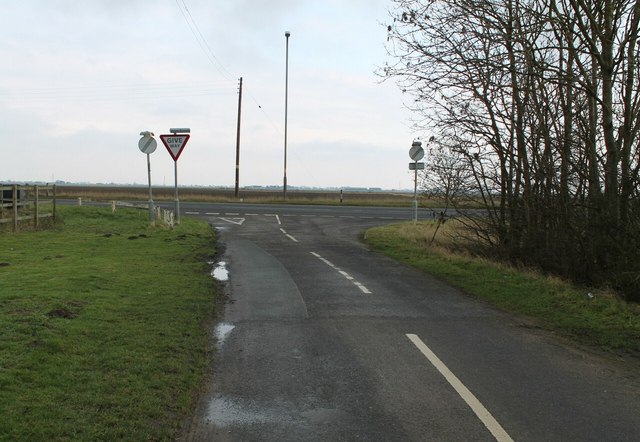
Junction of High Ferry Lane and A16
 Map © Crown Copyright")
TIP: Click the map for more Large scale mapping
- Grid Square
- TF3549, 8 images (more nearby 🔍)
- Photographer
- J.Hannan-Briggs (more nearby)
- Contributed by
- Julian P Guffogg (more nearby)
- Date Taken
- Sunday, 29 January, 2012 (more nearby)
- Submitted
- Sunday, 5 February, 2012
- Subject Location
-
OSGB36:
 TF 3515 4913 [10m precision]
WGS84: 53:1.3443N 0:0.8097E - Camera Location
-
OSGB36: TF 3512 4914
- View Direction
- East-southeast (about 112 degrees)