2012
SX5986 : Valley of headwater of the West Okement
taken 12 years ago, near to Black Ridge [hill or Mountain], Devon, Great Britain
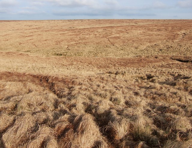
Valley of headwater of the West Okement
From the same spot as SX5986 : Moorland in the West Okement valley, looking across the valley.
 Map © Crown Copyright")
TIP: Click the map for more Large scale mapping
- Grid Square
- SX5986, 5 images (more nearby 🔍)
- Photographer
- Derek Harper (more nearby)
- Date Taken
- Saturday, 28 January, 2012 (more nearby)
- Submitted
- Sunday, 5 February, 2012
- Subject Location
-
OSGB36:
 SX 5986 8602 [10m precision]
WGS84: 50:39.4170N 3:59.0376W - Camera Location
-
OSGB36: SX 5975 8601
- View Direction
- EAST (about 90 degrees)