2012
ST0408 : Frosty field by Horn Road
taken 12 years ago, near to Kentisbeare, Devon, England
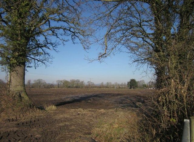
Frosty field by Horn Road
A view from a gateway by Horn Road, looking through a further opening in a field boundary across the flat land around the River Ken.
 Map © Crown Copyright")
TIP: Click the map for more Large scale mapping
- Grid Square
- ST0408, 11 images (more nearby 🔍)
- Photographer
- Derek Harper (more nearby)
- Date Taken
- Friday, 3 February, 2012 (more nearby)
- Submitted
- Monday, 6 February, 2012
- Subject Location
-
OSGB36:
 ST 048 082 [100m precision]
WGS84: 50:51.9264N 3:21.2496W - Camera Location
-
OSGB36: ST 0492 0815
- View Direction
- Northwest (about 315 degrees)