2012
SK7631 : Station approach
taken 12 years ago, near to Stathern, Leicestershire, England
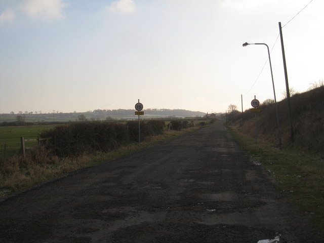
Station approach
Harby and Stathern station on the Great Northern and London and North Western Joint line (opened in 1879 and finally closed in 1968) was some distance from the road between the two villages. Some of the former station buildings are just visible in the distance.
 Map © Crown Copyright")
TIP: Click the map for more Large scale mapping
- Grid Square
- SK7631, 39 images (more nearby 🔍)
- Photographer
- Jonathan Thacker (more nearby)
- Date Taken
- Friday, 3 February, 2012 (more nearby)
- Submitted
- Monday, 6 February, 2012
- Subject Location
-
OSGB36:
 SK 7607 3116 [10m precision]
WGS84: 52:52.3528N 0:52.2766W - Camera Location
-
OSGB36: SK 7608 3142
- View Direction
- SOUTH (about 180 degrees)