2012
TF4630 : RAF Holbeach - Control tower on the edge of the salt marsh
taken 12 years ago, near to Gedney Drove End, Lincolnshire, England
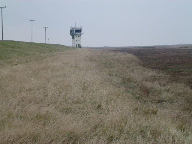
RAF Holbeach - Control tower on the edge of the salt marsh
 Map © Crown Copyright")
TIP: Click the map for more Large scale mapping
- Grid Square
- TF4630, 45 images (more nearby 🔍)
- Photographer
- Richard Humphrey (more nearby)
- Date Taken
- Saturday, 4 February, 2012 (more nearby)
- Submitted
- Monday, 6 February, 2012
- Subject Location
-
OSGB36:
 TF 4626 3076 [10m precision]
WGS84: 52:51.2684N 0:10.2439E - Camera Location
-
OSGB36: TF 4641 3040
- View Direction
- North-northwest (about 337 degrees)