2012
NR4075 : Allt Bhachlaig, north of Bunnahabhain, Islay
taken 12 years ago, 3 km from Bunnahabhain, Islay, Argyll And Bute, Scotland
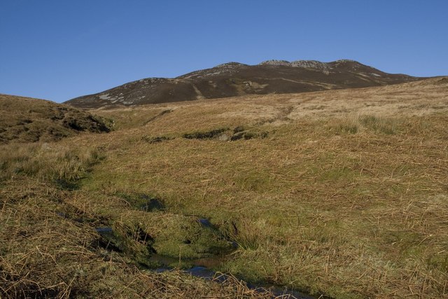
Allt Bhachlaig, north of Bunnahabhain, Islay
Sgarbh Breac in background.
 Map © Crown Copyright")
TIP: Click the map for more Large scale mapping
- Grid Square
- NR4075, 4 images (more nearby 🔍)
- Photographer
- Becky Williamson (more nearby)
- Date Taken
- Monday, 6 February, 2012 (more nearby)
- Submitted
- Tuesday, 7 February, 2012
- Subject Location
-
OSGB36:
 NR 4058 7567 [10m precision]
WGS84: 55:54.2402N 6:9.1224W - Camera Location
-
OSGB36: NR 4062 7560
- View Direction
- North-northwest (about 337 degrees)