2011
TM1247 : The Gipping Valley River Path
taken 13 years ago, near to Bramford, Suffolk, England
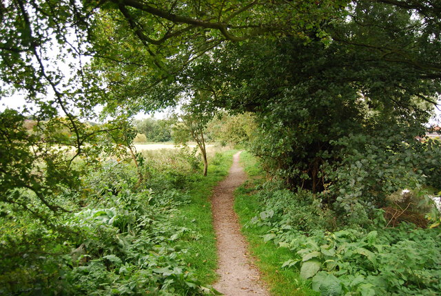
The Gipping Valley River Path
The Gipping Valley River Path (Gipping Way)
The Gipping Valley River Path is a 17 mile long walk, from Stowmarket to Ipswich, along the River Gipping, mostly following the old towpath. Along the route can be seen old watermills, locks, wildlife and river scenery.
Bramford Meadows Local Nature Reserve :: TM1246
A low lying river grassland and scrub in a linear strip along the River Gipping, to the east of Bramford. The meadows are crossed by wet ditches and the old course of the river. The area was once grazing marshes.
Species found include slender ground hopper, great green bush cricket, reed and sedge warblers and rushes.
The site is designated as a County Wildlife Site for ditch vegetation including water forget-me-not, water mint and water figwort.
 Map © Crown Copyright")
TIP: Click the map for more Large scale mapping
- Grid Square
- TM1247, 66 images (more nearby 🔍)
- Photographer
- N Chadwick (more nearby)
- Date Taken
- Sunday, 18 September, 2011 (more nearby)
- Submitted
- Tuesday, 7 February, 2012
- Subject Location
-
OSGB36:
 TM 1254 4700 [10m precision]
WGS84: 52:4.8323N 1:6.0242E - Camera Location
-
OSGB36: TM 1255 4701
- View Direction
- Southwest (about 225 degrees)