2012
NT6928 : Jedburgh Railway trackbed
taken 12 years ago, near to Roxburgh, Scottish Borders, Scotland
This is 1 of 4 images, with title Jedburgh Railway trackbed in this square
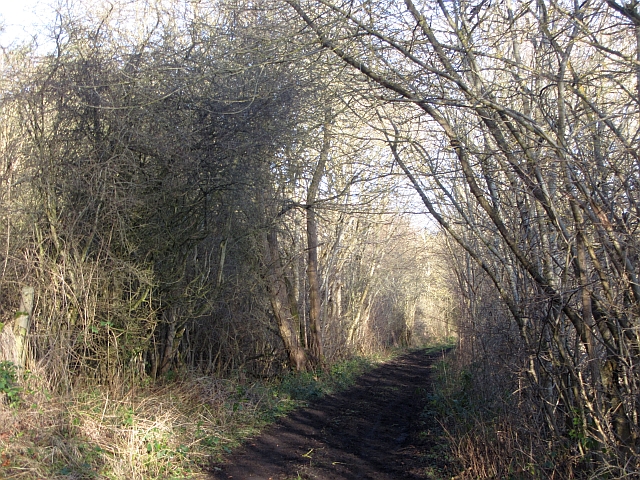
Jedburgh Railway trackbed
Before 1948 when flooding destroyed a bridge over the Teviot, this was a railway from Jedburgh, meeting the Kelso Branch at Roxburgh Junction. Today from Roxburgh to Nisbit is accessible as a path.
 Map © Crown Copyright")
TIP: Click the map for more Large scale mapping
- Grid Square
- NT6928, 29 images (more nearby 🔍)
- Photographer
- Richard Webb (more nearby)
- Date Taken
- Thursday, 12 January, 2012 (more nearby)
- Submitted
- Wednesday, 8 February, 2012
- Subject Location
-
OSGB36:
 NT 6958 2896 [10m precision]
WGS84: 55:33.2027N 2:29.0251W - Camera Location
-
OSGB36: NT 6959 2903
- View Direction
- SOUTH (about 180 degrees)