2011
SY5287 : Chesil Beach
taken 12 years ago, near to West Bexington, Dorset, England
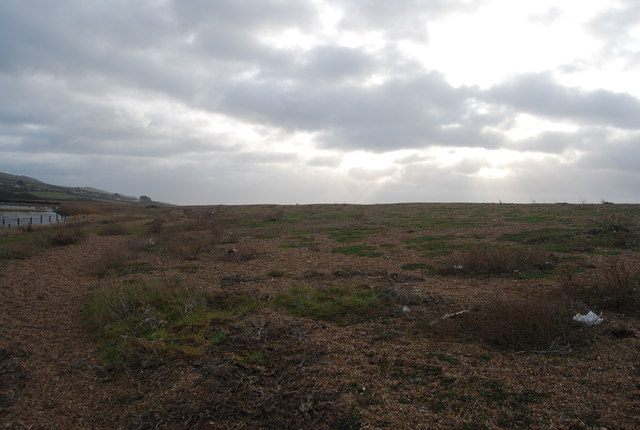
Chesil Beach
Chesil Beach is a 30 km long barrier beach, which formed as sea level rose at the end of the last ice age. It connects the Isle of Portland to the mainland and is sometimes, inaccurately, described as a tombolo. The beach is composed of shingle and is up to 200 metres wide and 15 metres high.
The pebbles are larger at the eastern end than the western end, so removing the possibility that it has been formed by Longshore Drift.
Website: Link
See other images of Chesil Beach
The pebbles are larger at the eastern end than the western end, so removing the possibility that it has been formed by Longshore Drift.
Website: Link
See other images of Chesil Beach
 Map © Crown Copyright")
TIP: Click the map for more Large scale mapping
- Grid Square
- SY5287, 72 images (more nearby 🔍)
- Photographer
- N Chadwick (more nearby)
- Date Taken
- Thursday, 29 December, 2011 (more nearby)
- Submitted
- Friday, 10 February, 2012
- Subject Location
-
OSGB36:
 SY 5218 8701 [10m precision]
WGS84: 50:40.8463N 2:40.6922W - Camera Location
-
OSGB36: SY 5213 8703
- View Direction
- East-southeast (about 112 degrees)